
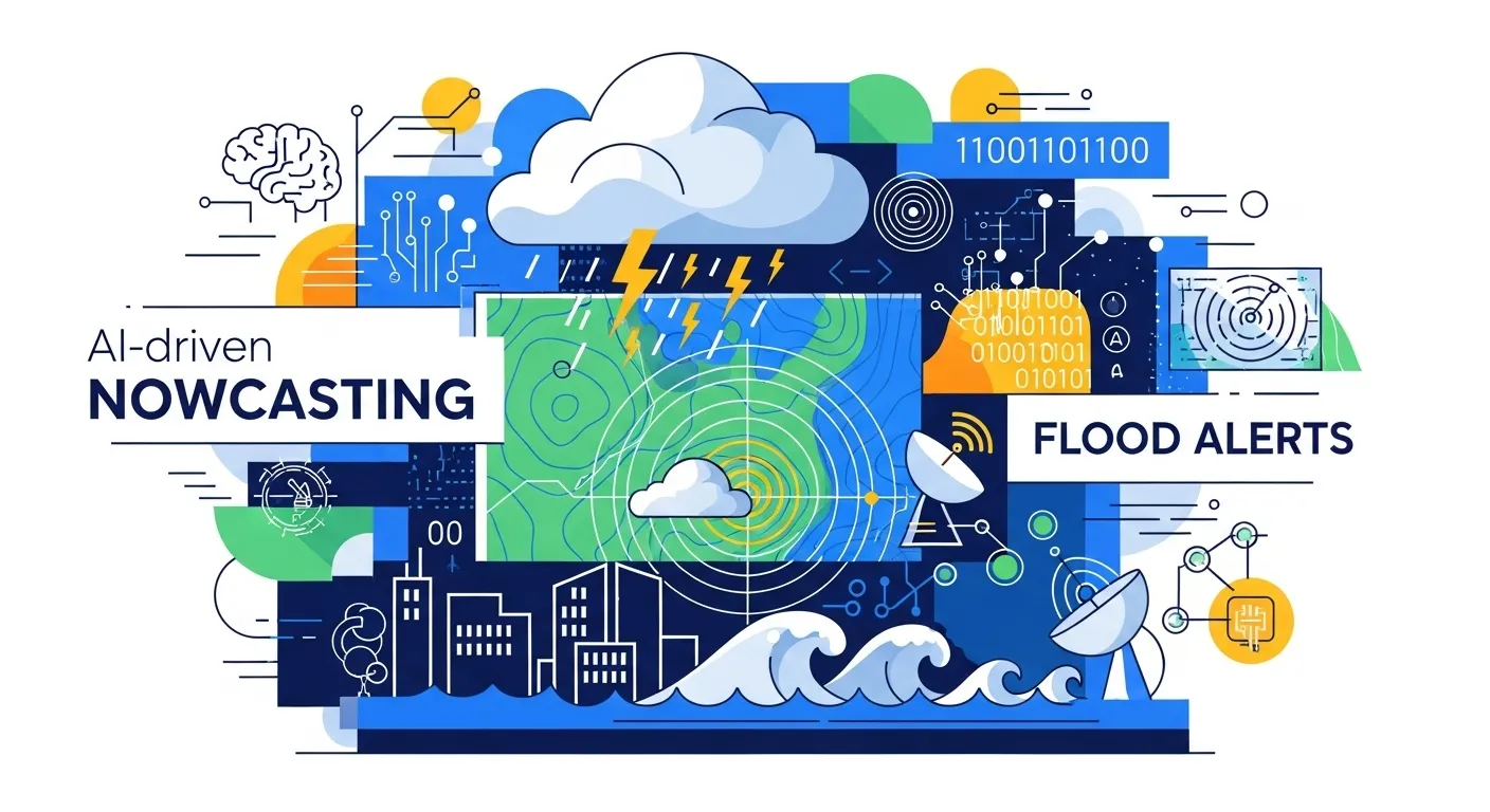
From flash floods to freak hailstorms, the atmosphere has been extra dramatic lately. The good news: AI is getting really good at spotting trouble early—giving forecasters and communities more time to act. Here’s how “AI for extreme weather prediction” is reshaping warnings worldwide—and what it means for you.
What Is AI for Extreme Weather Prediction?
It’s the use of machine learning models—trained on decades of satellite, radar, and station data—to forecast dangerous events like floods, cyclones, severe thunderstorms, and extreme heat. Instead of simulating physics on supercomputers alone, AI learns patterns directly from data and can run in minutes on modest hardware.
How It Works
1) Data in: AI models ingest global reanalyses, satellite imagery, radar scans, and surface observations. For “nowcasting” (0–6 hours), they lean heavily on real-time radar/satellite to track fast-forming storms.
2) Pattern learning: Deep nets (graph neural networks, transformers, diffusion and generative models) learn relationships between atmospheric states and what happens next—like intense rainfall or wind bursts.
3) Rapid inference: Once trained, AI can produce global 10-day forecasts in ~minutes and short-range storm guidance in seconds—dramatically faster than traditional numerical weather prediction alone.
4) Hybrid use: National services increasingly pair AI with physics-based models (e.g., NOAA’s HRRR “AI-powered sibling”), blending speed with physical realism for better warnings.
Benefits & Use Cases
- Earlier warnings for flash hazards: AI “nowcasting” improves short-lead alerts for severe convection, hail, and cloudbursts—critical for cities and airports.
- Faster medium-range guidance: Models like GraphCast deliver skillful 10-day outlooks far quicker than traditional systems—useful for emergency planning and grid operators.
- Flood risk prediction: New machine-learning flood tools have boosted accuracy and cut false alarms in trials, offering more time to evacuate and protect assets.
- Democratized forecasting: Emerging projects (e.g., Aardvark) aim to run quality forecasts on desktop-class machines—expanding access in low-resource regions.
Costs/Pricing
Compute vs. supercomputers: Training frontier AI models is costly, but once trained, they’re cheap to run—often on a single GPU—compared with the supercomputing needed for high-resolution physics. In practice, this lowers per-forecast costs and energy use.
Open data and tools: ECMWF publishes experimental AI outputs (e.g., GraphCast) freely for viewing, and workshops from NOAA/EPIC help agencies adopt open-source stacks—reducing vendor lock-in.
Total cost of warning: The biggest ROI comes from avoided losses—AI-enhanced warnings can reduce casualties and damages when integrated with local emergency plans and communications.
Local Insights (Bangladesh)
Bangladesh, highly exposed to cyclones, floods, and storm tides, is rapidly piloting AI-enabled early warnings—from surge modeling pilots with local universities to new training programs for forecasters. These efforts complement national services (BMD, FFWC) and humanitarian “anticipatory action” frameworks.
Recent initiatives include capacity-building for low- and middle-income countries (with Bangladeshi participation) to run AI models and deliver farm-friendly forecasts—key for monsoon-driven agriculture.
Tip: Pair national bulletins with AI visualizations (e.g., ECMWF’s AI charts) and local river/flood products for a fuller picture during monsoon and cyclone seasons.
Alternatives & Comparisons
- Traditional NWP: Pros—physically interpretable, robust in unfamiliar regimes; Cons—computationally heavy, slower updates at very high resolution.
- Pure AI models (GraphCast, etc.): Pros—very fast, competitive medium-range skill; Cons—can struggle with “unprecedented” extremes outside training data.
- Hybrid AI+Physics: Pros—best of both worlds; Cons—needs careful integration and validation (an active research frontier at NOAA/ECMWF).
Step-by-Step Guide
- Scan short-term risk (0–6h): Check your meteorological agency’s severe weather outlooks and AI-powered nowcasts for radar-driven storms or urban flash floods.
- Cross-check medium range (1–10 days): Compare AI model guidance (e.g., GraphCast maps) with official forecasts to spot consensus on heavy rain, heat, or wind threats.
- Localize and act: Use local flood/cyclone bulletins and anticipatory-action triggers (e.g., river levels, surge thresholds). Prep go-bags, protect equipment, and coordinate with community alerts.
FAQs
Is AI for extreme weather prediction worth it?
Yes—when used with official forecasts. AI brings speed and fresh skill, especially for short-lead storms and 3–10-day planning. Agencies increasingly deploy it alongside physics models for more reliable warnings.
How long does it take?
Once trained, AI models can generate global forecasts in minutes; nowcasting updates arrive in near-real time—valuable when storms evolve rapidly.
Are there risks?
AI can underperform on truly unprecedented events not represented in training data. Hybrid systems, rigorous validation, and human oversight mitigate this. Always treat AI as decision support—never the only signal.
Bottom Line
AI is changing weather warnings from “late and loud” to “early and actionable.” Pair fast AI guidance with official bulletins and local plans, and you’ll turn chaotic skies into smarter decisions. Share this guide with your team or community—and stay weather-smart.
Sources
- WMO — AI-Powered Nowcasting Is a Game Changer
- Google DeepMind — GraphCast Overview
- ECMWF — Experimental AI Model Products
- NOAA Research — AI-Powered Sibling to HRRR
- Financial Times — Gen/Aardvark AI Forecasting Coverage
- The Guardian — AI Flood Forecasting Gives Hope
- University of California — Can AI Predict Freak Events?
- AMS AI for Earth Systems — Validating ML Forecast Models
- ReliefWeb/Start Network — Bangladesh EWS Overview
- University of Chicago — AI Weather Training Program